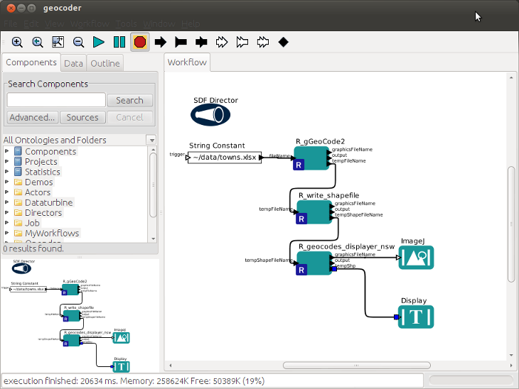
A exemplar workflow for geocoding locations
The geocoder workflow at this clink is an example that takes a list of locations and returns a shapefile with the latitude and longitudes, as well as a map.
As you can see when you open the KAR file, this workflow expects an XLSX file to be linked in the first actor.
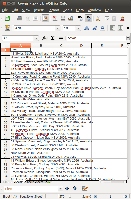
list your locations
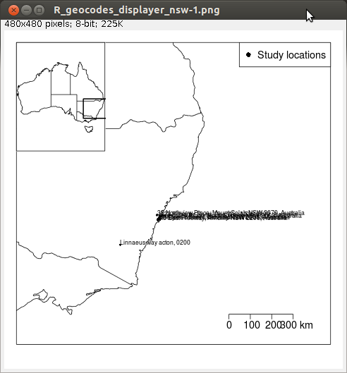
run the workflow to create an image
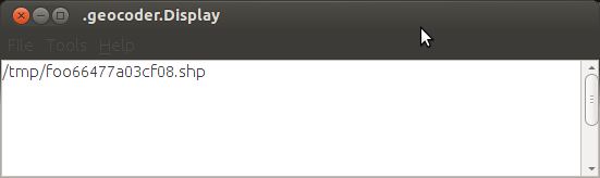
and a shapefile, stored in your temporary directory